All available routes
Each route has been walked, refined, and documented to ensure you experience Britain's landscapes at their most compelling.

Highland Silence
A 12-mile traverse through the Cairngorms where solitude becomes a companion. Expect granite peaks, hidden lochs, and weather that changes your perspective. Moderate navigation skills required. Best walked May through September.

Coastal Rewilding
Seven miles along cliffs where land meets Atlantic fury. Seabirds, wildflowers, and views that make you forget the world beyond. Suitable for most fitness levels. Spectacular in spring and autumn. Check tide times before departing.
Ancient Borders
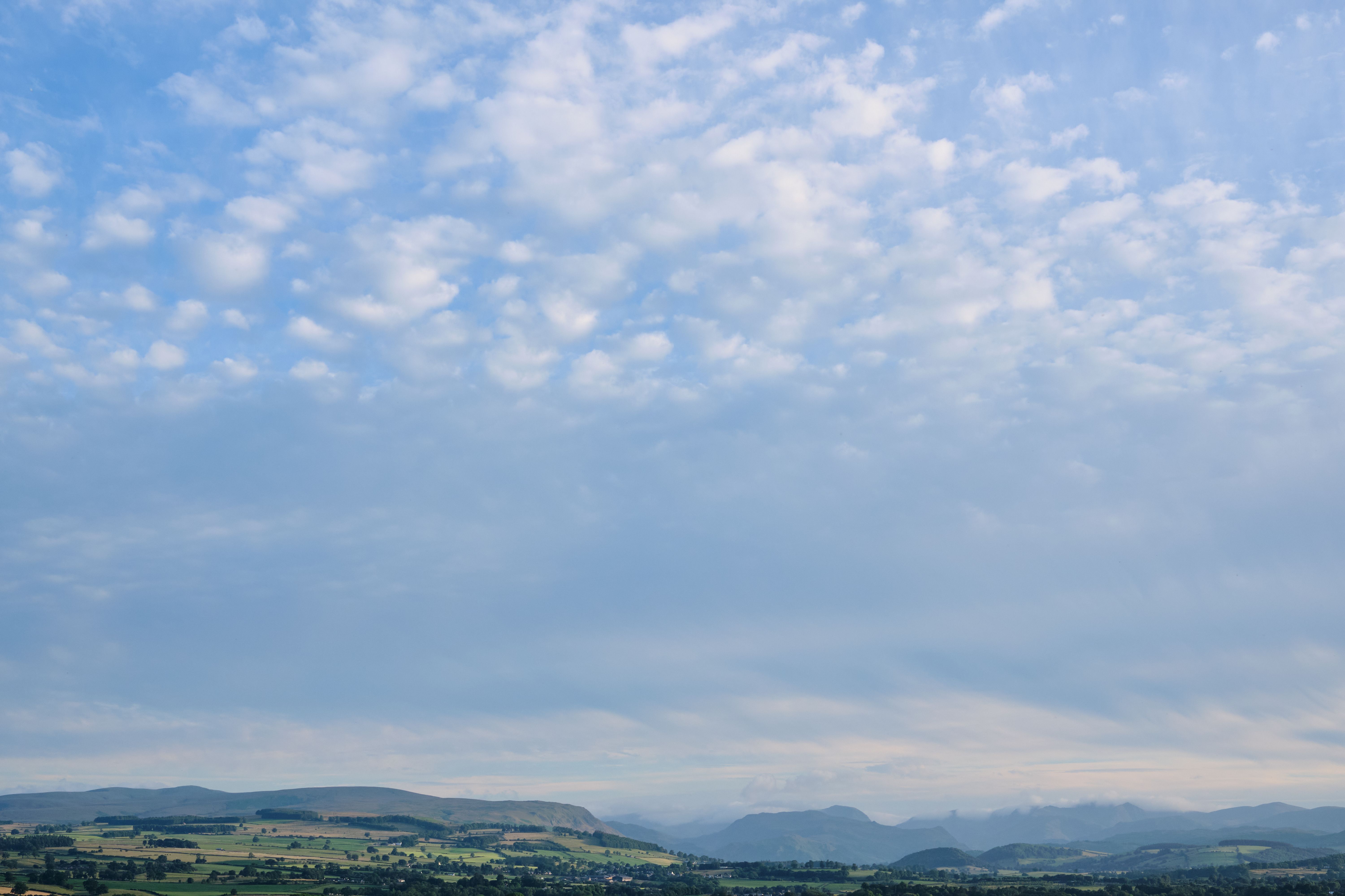
Walk the line between England and Wales. Stone circles, hill forts, and horizons that stretch into legend. 15 miles of history beneath your feet. Challenging in sections. Requires full day. Rich in archaeological features.

Lakeland Echoes
A gentle 8-mile circuit around lesser-known tarns. Perfect for those seeking reflection without the crowds. Includes tea stop coordinates. Accessible year-round. Ideal introduction to Lake District walking beyond the famous peaks.

Moorland Reverie
Dartmoor at its most elemental. 10 miles across open heath where tors rise like monuments. Navigation skills rewarded. Weather can change rapidly. Map and compass essential. Experience raw landscape that has remained unchanged for millennia.
Forest Cathedral
Six miles beneath ancient canopy. Sunlight filtered through oak and beech. The oldest trees in England surround this circular walk. Easy terrain. Exceptional in early morning. Bird watching opportunities throughout the year.
What you receive
Every route purchase includes detailed documentation delivered within 24 hours. You'll receive GPS coordinates for the complete trail, elevation profiles showing ascent and descent patterns, detailed written directions with landmark references, parking coordinates and access information, seasonal notes on optimal timing, and emergency contact points along the route.
Our maps are designed for both digital and printed use. Download to your phone or print as backup. Each route includes photographs of key junctions to eliminate navigation uncertainty.
Before you walk
Check weather forecasts for the specific area. Some routes become hazardous in poor conditions. Inform someone of your intended route and expected return time. Carry appropriate clothing, water, and emergency supplies. Mobile signal cannot be guaranteed on remote sections.
These routes demand respect. They traverse genuine wilderness in many cases. Your safety is your responsibility. Our documentation provides guidance, not guarantees.